
DOT, DHS, and DoW impose drone restriction over southern border airspace
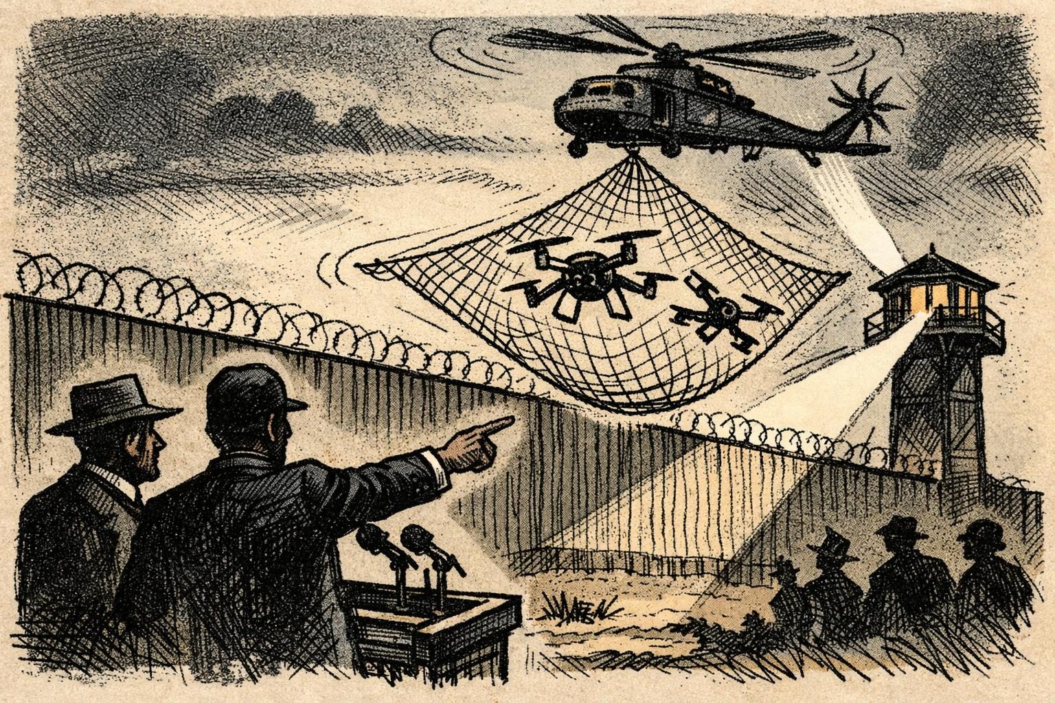
The federal government on October 16 imposed a new temporary flight restriction over a narrow strip of airspace along the southern border, adding another layer of control to a corridor already saturated with surveillance, law enforcement, and political symbolism. The restriction bars unauthorized drone operations within one nautical mile north of the U.S.-Mexico border, from the surface up to 400 feet, and it takes effect immediately. Transportation, Defense, and Homeland Security announced the measure together, underscoring that this is not a symbolic warning or a future proposal, but a live operational change. In practical terms, it redraws the rules for anyone flying drones near the border, whether for government operations, private observation, or everyday use by people who live and work in the area. The agencies said the purpose is to protect federal personnel and border operations, which places the move squarely inside the broader push to tighten federal command over border-adjacent space.
The decision fits into a familiar pattern: when Washington says it is protecting the border, it often ends up expanding the government’s ability to regulate movement, visibility, and access in the name of security. Drone restrictions are not only aviation measures, even when they are described that way. They also shape who can document conditions on the ground, who can monitor official activity, and who can gather information from the air without attracting enforcement attention. That matters in a border environment where drones have become useful for a range of people with very different motives, from smugglers trying to survey terrain to ranchers checking property, journalists documenting conditions, activists observing federal operations, and residents simply wanting a better view of what is happening near their land. The new restriction does not necessarily eliminate those uses entirely, but it makes them riskier and more tightly policed. It also signals that the federal government is willing to use airspace management as another tool in the border clampdown.
Supporters of the restriction are likely to argue that the border zone is not an ordinary patch of sky and that drones can interfere with law enforcement and military-style operations in ways that create real danger. That argument is not hard to understand. Small unmanned aircraft can disrupt helicopter activity, expose sensitive positions, or complicate surveillance and interdiction efforts, especially in areas where federal agents are already operating under pressure. The agencies did not present the move as a broad technological ban or a permanent redesign of border aviation policy, but as a temporary restriction aimed at immediate operational protection. Even so, temporary restrictions have a way of becoming part of a larger architecture once they are in place. A border measure justified as a practical response can also serve as a precedent for more aggressive control later, particularly if officials decide the conditions that prompted it have not fully gone away.
Critics, by contrast, are likely to see the move as one more example of emergency-style governance becoming normal at the border. Each new restriction adds to a system in which federal authority reaches further into local space and everyday activity, often with limited public debate and broad deference to security claims. That is especially important in a region where the line between public safety, surveillance, and theater is already thin. The administration’s framing puts the emphasis on protection and operational necessity, but the effect is to deepen the federal footprint over a strip of airspace that now carries legal consequences for crossing it with the wrong aircraft. For people living near the border, that can mean more uncertainty about what is allowed and more exposure to enforcement if the rules are misunderstood or unevenly applied. For agencies on the ground, it gives another instrument to control the environment above them.
What makes this development notable is not just that a restriction exists, but where it exists and how narrowly it is drawn. A one-mile buffer north of the border is small on a map, yet in the world of drone operations it is meaningful, especially because the restriction runs from the surface to 400 feet and is effective immediately. That combination leaves little room for casual interpretation. Anyone operating in that area now has to treat the border sky as a regulated zone, not a free-fly zone, and violations can quickly become an enforcement issue. The administration may present the policy as a modest operational safeguard, but its broader significance is easy to see. It is another step in the long project of turning the southern border into a more heavily managed technological and legal space, where observation is controlled, movement is constrained, and the federal government gets to decide much more of what happens above the line.
Comments
Threaded replies, voting, and reports are live. New users still go through screening on their first approved comments.
Log in to comment
No comments yet. Be the first reasonably on-topic person here.